
Wandrer Map Overlay Chrome 插件, crx 扩展下载
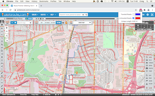
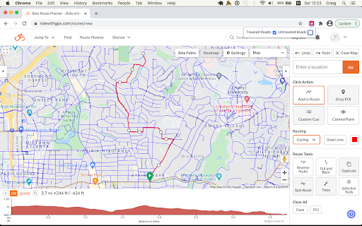
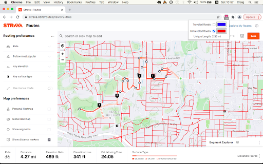
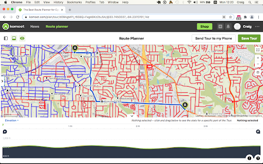
View your Wandrer map data in a variety of route planning tools, including Strava, Komoot and RideWithGPS
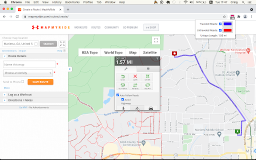
The Wandrer Map Overlay Extension lets you view your Wandrer map data in many popular route planning tools, making it easy to plan routes that take you new places.
Requires an upgraded account on Wandrer.
About Wandrer
Wandrer is the outdoor game that you win by going places you've never been before. The main rule is: you get credit for every road you travel, but only once. So if you want to progress, you have to go new places. Find out more at https://wandrer.earth/
Version History:
2.0.0.4: Fix MapMyRide/MapMyRun compatibility
2.0.0.3: Improved stability with Komoot, Strava and Bikemap
2.0.0.2: Fix Komoot compatibility, improve behavior in long routes with Strava
2.0.0.1: Manifest V3 rewrite
1.0.0.63: Restore Strava compatibility
1.0.0.61: Fix compatibility with MapMyRide/MapMyRun
1.0.0.60: Fix Komoot compatibility
1.0.0.59: Fix Garmin compatibility
1.0.0.58: Some small Bikemap and Komoot fixes
1.0.0.57: Restore compatibility with Bikemap
1.0.0.56: Add support for Google map layers in RideWithGPS and fix a bug around display of untraveled roads.
1.0.0.55: Partial fix for RideWithGPS and the Wandrer extension. The Google maps layers are not yet functional, but all others should be.
1.0.0.54: Improve compatibility with Strava, RideWithGPS, and Garmin
1.0.0.53: Fix a bike/foot icon swap in RideWithGPS
1.0.0.52: Add support for toggling paved and unpaved road visibility
1.0.0.51: Update compatibility with RideWithGPS
1.0.0.50: Go someplace together! You can now display the Wandrer data for two additional friends directly in the extension to help you plan routes together. Also fix a RideWithGPS rendering issue.
1.0.0.48: Fix compatibility with Garmin and Komoot route planners
1.0.0.47: Bugfix with changing map type on Komoot
1.0.0.46: Bugfix with Strava data display
1.0.0.45: Bugfix with Komoot data display
1.0.0.44: Bugfix with Strava data display
1.0.0.43: Bugfix with Komoot data display
1.0.0.42: Bugfix with distance reporting in MapMyRide/MapMyRun
1.0.0.41: Bugfix with distance reporting in Strava
1.0.0.40: Bugfix with distance reporting in Komoot
1.0.0.39: Show Wandrer data in additional Veloviewer maps and display traveled + unpaved roads as dashed lines
1.0.0.38: Add support for viewing Wandrer map data in the Veloviewer explorer
1.0.0.37: Fix display with different map layers in Komoot.
1.0.0.35/36: Fix a bug in the previous version where map layers weren't showing correctly.
1.0.0.34: Set default road layer colors
1.0.0.33: Improve the color picker, allowing setting of transparency
1.0.0.32: Fix RideWithGPS styling to be more consistent with other sites and the Wandrer site.
1.0.0.31: Bugfixes with the Strava route planner.
1.0.0.30: Add support for Garmin Connect route maker and fix some bugs around displaying new length
1.0.0.29: Hopefully address a bug with the extension key not being properly saved.
1.0.0.28: Bugfixes
1.0.0.27: Add early support for activities on foot
1.0.0.25: Bug fix with the popup window size being too small in Chrome 94
1.0.0.24: Bug fix with changing map styles on Komoot
1.0.0.23: Bug fix with calculating route length on Strava
1.0.0.22: More bug fixes
1.0.0.21: Bug fixes with Strava
1.0.0.20: Bug fixes
1.0.0.19: Add support for BikeRouter
1.0.0.18: Bug fixes
1.0.0.17: Added support for dynamicWatch and improved Komoot compatibility
1.0.0.16: Updated to work with Komoot once again!
1.0.0.15: Added support for Bikemap.net
1.0.0.14: Bug fixes (better Komoot support, preserve color choices after sign-out/sign-in)
1.0.0.13: Add MapMyRide/MapMyRun and Plotaroute support
1.0.0.11: Add different styling for "unpaved" roads, displaying them as dashed lines
1.0.0.10: Fix an issue with the extension not loading on Komoot route edit pages
1.0.0.9: Fix an issue with the extension not loading on Strava route edit pages
1.0.0.8: Add support for additional Komoot websites
1.0.0.7: Add support for Komoot route planner
1.0.0.6: Fix a bug where some roads were incorrectly shown as ridden in RideWithGPS
1.0.0.5: Add missing support for Strava route edit pages
1.0.0.4: Adds support for the Strava route planning tool
1.0.0.3: Also display Wandrer map data in the RWGPS route edit view
1.0.0.2: Added a live tally of the expected new length for the route, displayed under the extension's icon
1.0.0.1: Added the ability to change the color of traveled and untraveled road layers
1.0.0.0: Initial release
| 分类 | 🎬娱乐 |
| 插件标识 | nmcamjnbjejckmdbobepfjdehbfillan |
| 平台 | Chrome |
| 评分 |
★★★★☆
4.8
|
| 评分人数 | 51 |
| 插件主页 | https://chromewebstore.google.com/detail/wandrer-map-overlay/nmcamjnbjejckmdbobepfjdehbfillan |
| 版本号 | 2.0.0.4 |
| 大小 | 732KiB |
| 官网下载次数 | 5000 |
| 下载地址 | |
| 更新时间 | 2025-02-21 00:00:00 |
CRX扩展文件安装方法
第1步: 打开Chrome浏览器的扩展程序
第2步:
在地址栏输入: chrome://extensions/
第3步: 开启右上角的【开发者模式】
第4步: 重启Chrome浏览器 (重要操作)
第5步: 重新打开扩展程序管理界面
第6步: 将下载的crx文件直接拖入页面完成安装
注意:请确保使用最新版本的Chrome浏览器
同类插件推荐

Squadrats Route Planning
Add thrill to your cycling route planning by hunti

StatsHunters
Show tiles on Strava route builderTo make it easie

Wander - connecting the world's intellectual
Wander's chrome extensions allows you to share
Wandrer Map Overlay
View your Wandrer map data in a variety of route p

iD Strava Heatmap
Easily overlay the Strava Global Heatmap in your i
strava-map-switcher
Map switcher for Strava websiteMap switcher for St

Strava, export gpx track
Export gpx-track from strava.com (c) Eugene Ivanov

StraTistiX with aRPEe Score for Strava
Add lots of features to Strava website (forked fro

ZwiftMap for Strava
Replace real-world maps with Zwift maps when visit

Strava Kudo All
Kudo All Strava automating the process of giving k

VeloViewer Strava Plugin
Additions to Strava website to provide helpful lin

Sauce for Strava™
Additional functionality for your cycling and runn

Strava Helper
Some tweaks for Strava. Adds a "Give Kudos to